ROCK
Weak rock wears back
At Swanage, the Geologists' Association notes that stronger rocks resist erosion while weaker ones are more easily eroded, giving a headland and bay coastline.
Test a rockHOW THE COAST IS SHAPED
A bay is where the sea has won.
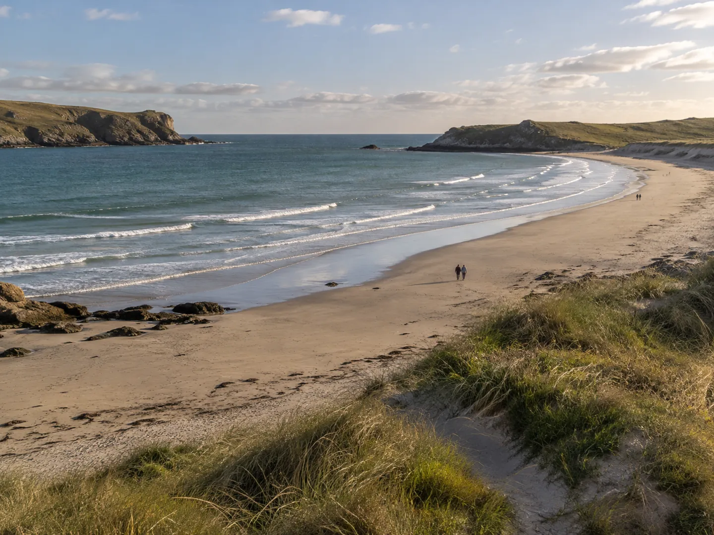
Coasts are made of rocks of different strengths. Waves wear the weaker ones back into curves and leave the tougher ones standing out as headlands. Dorset's coast shows it all within a few miles.
READ THE ROCK behind the beach
THE SHORT ANSWER
Where rock strength changes along a coast,
the sea finds the difference.
ROCK
At Swanage, the Geologists' Association notes that stronger rocks resist erosion while weaker ones are more easily eroded, giving a headland and bay coastline.
Test a rockWAVES
Waves bend towards shallow water off a headland, so headlands receive most of the wave energy and bays become places where sand settles.
Read a coastlineTHE LAW
Under the UN Law of the Sea, an inlet counts as a bay only if its area is at least that of a half-circle drawn across its mouth.
See the numbersA QUICK ROCK CHECK
Lulworth Cove in Dorset cuts through four bands of rock. Pick one to see how it behaves. The bar shows how strongly it resists erosion compared with the others.
Based on the published geology of Lulworth Cove. Relative strengths only: the same rock can behave differently on another coast.
TWO NUMBERS WORTH KNOWING
One figure on how a cove opens up,
one on when a bay becomes national water.
300–500 m
Soft clays and sands behind the limestone
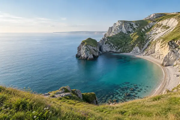
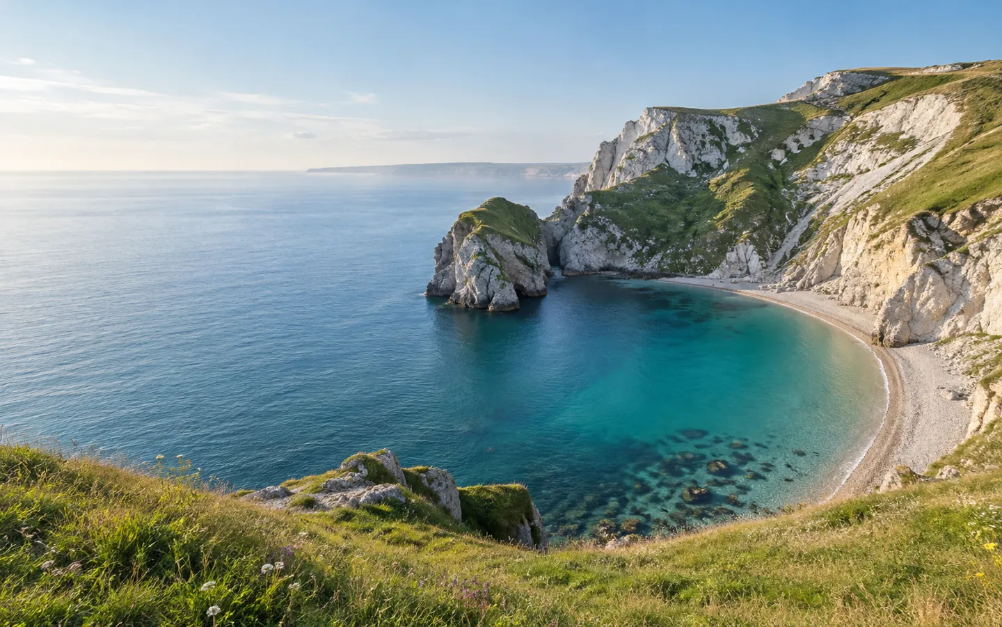
At Lulworth, a band of Portland limestone under 30 metres wide guards 300 to 500 metres of much weaker clays and greensands. Once breached, the soft rock was scooped out.
LULWORTH COVE · GEOLOGY
24 nautical miles
Widest mouth that can be closed off
If the natural entrance of a bay is no wider than 24 nautical miles, a closing line can be drawn across it and the water inside counts as the coastal state's internal waters.
BAYS · UN LAW OF THE SEA
UNESCO lists the Dorset and East Devon Coast, which includes Lulworth Cove, as a World Heritage Site: 155 km of coast recording about 185 million years of Earth's history and classic coastal landforms.
FOUR THINGS TO LOOK FOR
You do not need a geology degree. On your next coastal walk, these clues show why the shoreline curves where it does.
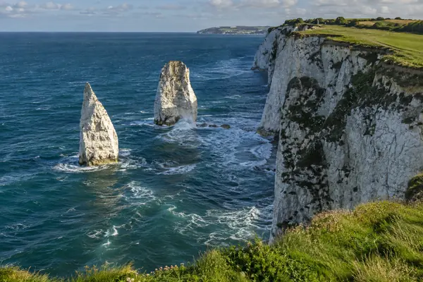
Points that stick out are usually made of tougher rock. At Swanage, the chalk of Ballard Down forms the headland with Old Harry Rocks.
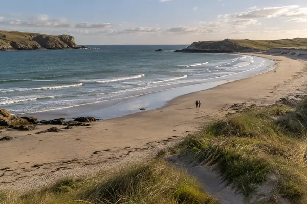
Bays sit where weaker rock, such as clay or sand, has been worn back. These soft cliffs often slump after wet winters.
Waves bend as they reach shallow water, wrapping towards the points and spreading out, weaker, into the bay.
Next to Lulworth Cove, Stair Hole is a small gap in the limestone where the sea has just begun to reach the clay.
STACKS, ARCHES AND SLIPS
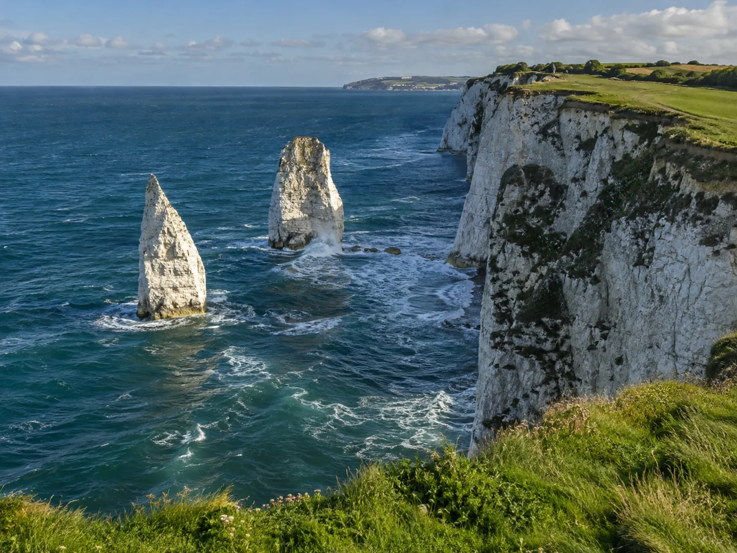
The wave energy that spares the bays keeps working on the points. Old Harry Rocks, at the tip of a chalk headland in Dorset, are stacks the sea has cut off from the land.
Bays change too. In Swanage Bay, landslides in the weak cliffs follow wet winters, and sea walls and drainage now protect parts of the town while other stretches are left to erode naturally.
Questions
A bay is a curved inlet where the sea reaches into the land. A headland is the high point of land that sticks out into the sea beside it. They often form as a pair, where weak and strong rocks meet the coast.
Waves bend towards the shallower water off headlands, so most of their energy is spent on the points. Inside the bay the waves are weaker, so sand and shingle tend to settle rather than be carried away.
The sea broke through a narrow band of hard Portland limestone and then wore away the much softer clays and sands behind it. Waves squeezing through the narrow entrance bend into arcs, which shapes the curve.
The Geologists' Association lists four controls on erosion at Swanage: the geology, gravity, water and wave attack. A 2013 landslide in Swanage Bay came after a wet winter, and the sea was not the cause because a sea wall protects that stretch.
Under Article 10 of the UN Convention on the Law of the Sea, an indentation is a bay only if its area is at least that of a half-circle drawn across its mouth. If the mouth is 24 nautical miles or less, the water inside can be internal waters.
Sources
ABOUT THIS NAME
doodlebay.com is part of the DoodleSale portfolio. It isn't in an auction right now, but you can ask about leasing it.